The Corps noticed the project in 2021
The Corps' May 13, 2022 notice says the project had already been under public notice since Nov. 5, 2021.
The same notice says the Corps had already determined an Environmental Impact Statement was necessary because the project may significantly affect the quality of the human environment.
The project area is a working floodplain, not a blank pad
NOAA says the project area sits on the Columbia River floodplain, converted to uplands by levees. It also says about 10,000 linear feet of waterways run through the area under the Beaver Drainage Improvement Company, draining floodwater and supplying irrigation water to farms through McLean Slough and Beaver Slough before discharging near the Clatskanie River.
NOAA's description places drainage, irrigation, farms, sloughs, wetlands, and river-connected habitat in the same project landscape.
The receiving waters are already stressed
DEQ's January 7, 2025 certification says the project is located in wetlands and waters that discharge to McLean Slough, a tributary to the Clatskanie River. DEQ also says the Clatskanie River to its confluence with the Columbia is listed as impaired for dissolved oxygen, and that the Columbia reach between Mill Creek and Wallace Slough is limited or impaired for temperature, dioxin, total dissolved gas, PCBs, and DDE.
DEQ's certification therefore places the proposed discharge path inside a watershed already carrying state-listed water-quality impairments.
State and federal agencies already list the species at stake
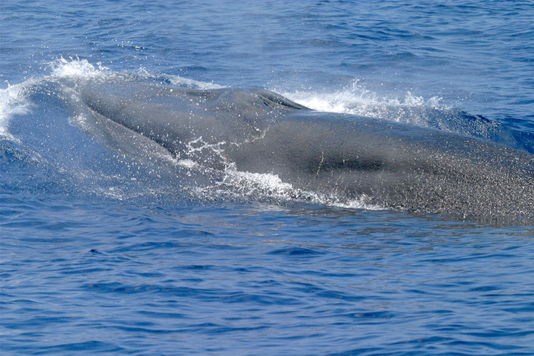
NOAA's biological opinion says the action is likely to adversely affect 23 ESA-listed species or DPSs, including multiple Chinook runs, Lower Columbia River coho, Columbia River chum, multiple steelhead populations, green sturgeon, eulachon, leatherback sea turtles, Southern Resident killer whales, and several whale species. NOAA also says the action would adversely affect essential fish habitat for Pacific Coast salmon and groundfish.
The same opinion explains why the estuary matters: juvenile salmon and steelhead historically used low-velocity marshland and tidal channel habitats, and diking and filling have already eliminated emergent and forested wetlands and floodplain habitats, reducing the estuary's salmon-rearing capacity.
The industrial buildout would harden the site even before the first gallon ships
DEQ says the project would create about 72.6 acres of new impervious surface on a 122.5-acre site. The certification and Corps documents also describe major fill, pipelines, tanks, rail infrastructure, stormwater systems, and thousands of deep piles.
The buildout would make the floodplain landscape harder, more industrial, and more dependent on detention ponds, ditches, and treatment controls before fuel shipments begin.
The mitigation plan is large, but it does not erase the underlying tradeoff
DEQ says NEXT's mitigation plan would enhance 476.60 acres by re-establishing a native shrub and bottomland emergent wetland community, removing noxious and non-native plants, taking out a poplar plantation, and creating shallow water areas and channels. USACE separately describes a 466.10-acre enhancement concept in the federal record.
The state and federal mitigation numbers show a project with large direct impacts and a large proposed restoration offset.
Industrial zoning does not erase what is already there
The federal and state record describes more than an industrial pad. It describes a leveed floodplain landscape with drainage infrastructure, wetlands, sloughs, impaired receiving waters, and habitat functions the agencies themselves are still evaluating.
The project has to be read against what exists on the ground: floodplain, habitat, drainage, farmland, and industrial infrastructure in the same place.