Washington lists domestic, farm, industrial, and navigation uses
Washington Ecology says state water-quality standards protect designated uses that include domestic water supply, industrial water supply, agricultural water supply, stock watering, wildlife habitat, fish harvesting, commerce and navigation, boating, and aesthetic values.
Oregon DEQ's Table 101A separately lists the mainstem Columbia for public and private domestic water supply, irrigation, livestock watering, fish and aquatic life, boating, recreation, and commercial navigation and transportation.
Ecology's Columbia River office names communities and farms
Washington Ecology's Office of Columbia River says it works to meet water needs for communities, farms, and the environment across the Columbia River system.
The agency's Columbia Basin project materials also describe state work to make water available for municipal, domestic, industrial, and irrigation needs.
Lake Roosevelt rules use a one-mile river corridor
Washington Ecology's Lake Roosevelt water-right page says new diversions from the Columbia River can be available from wells within one mile of either side of the river along the covered corridor.
The Lake Roosevelt page concerns a different Columbia water-right program, but the rule still shows how Washington administers river-linked withdrawals across a defined cross-river zone.
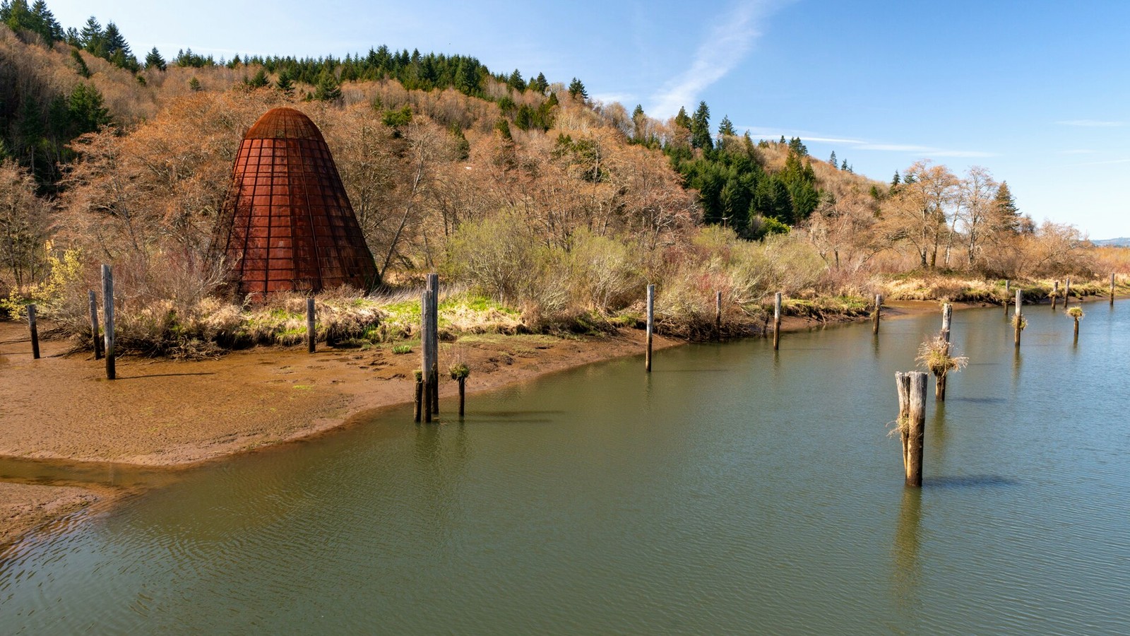
NOAA ties the Oregon site to farm irrigation channels
NOAA says the Port Westward project area includes about 10,000 linear feet of waterways operated by the Beaver Drainage Improvement Company.
NOAA says those waterways drain floodwater and supply irrigation water to farms through McLean Slough and Beaver Slough.
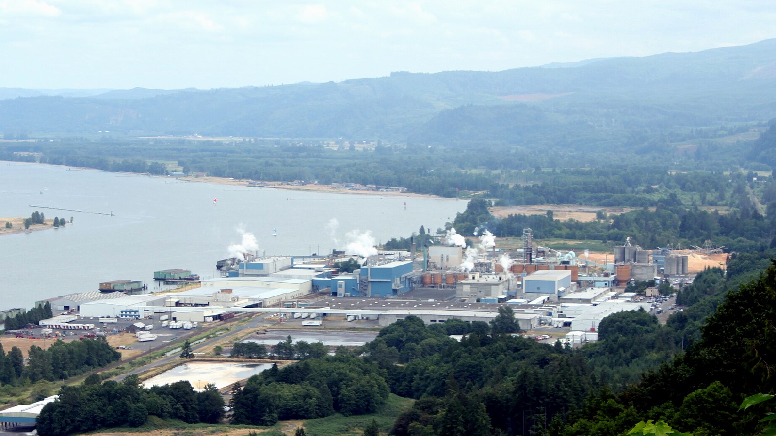
Corps documents place new vessel traffic in the corridor
The U.S. Army Corps of Engineers says the NEXT Renewable Fuels proposal could add up to 171 ocean-going vessel movements a year through the existing Port of Columbia dock.
Washington and Oregon both designate commerce and navigation as protected uses in their Columbia River water-quality records.
The cross-river file is a water-use file
Washington's designated-use record, Oregon's Table 101A, NOAA's farm-water description, and the Corps vessel-traffic estimate all point to the same corridor.
The Port Westward proposal sits on the Oregon bank, but the Columbia River water-use record is interstate, agricultural, industrial, domestic, ecological, and navigational.